Geodata Classification #
Spatial data classification in GIS involves categorizing geographic information into distinct groups or classes based on shared characteristics. This process enhances the organization and interpretation of spatial data.
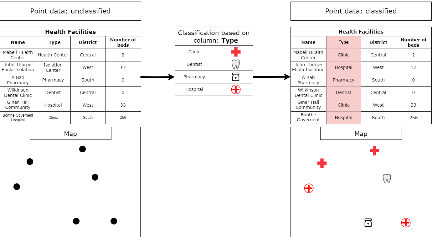
The attributes of geospatial data are stored in a specific column within the attribute table. Essentially, we choose a column containing the specific characteristics of interest, allowing QGIS to group the data based on these selected attributes.
QGIS offers several ways to classify geodata: