Appearance
Creating a Country-Based Grid for openrouteservice
This tutorial explains how to prepare a country-based grid dataset for openrouteservice.
Step 1: Prepare the Country Data
- Load your country dataset into QGIS.
- If your data consists of multiple GeoJSON files, merge them into a single vector layer:
- Go to Vector → Data Management Tools → Merge Vector Layers.
- Under Input Layers, select all GeoJSON files.
Step 2: Create Grids
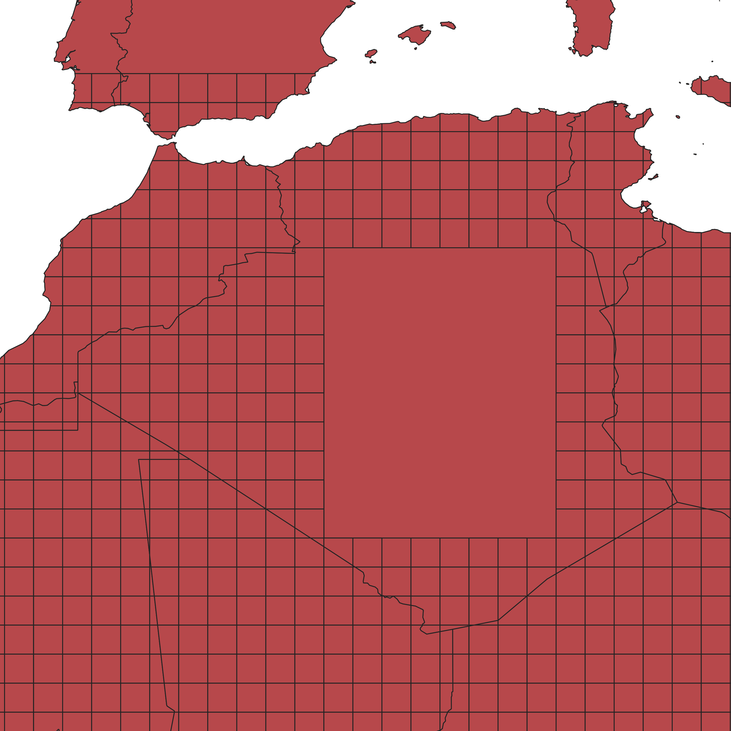
You will create two rectangular grids covering the same extent as your country layer.
- Go to Vector → Research Tools → Create Grid.
- For the first grid:
- Grid type: Rectangle (Polygon)
- Grid extent: Same as the country layer
- Horizontal/Vertical spacing : 10 degrees
- Grid: hierarchy grid
- For the second grid:
- Grid type: Rectangle (Polygon)
- Grid extent: Same as the country layer
- Horizontal/Vertical spacing: 1 degree
- Grid: cell grid
Step 3: Assign Hierarchy IDs
Join the two grids so that each 1° cell knows which 10° cell it belongs to.
- Go to Vector → Data Management Tools → Join Attributes by Location.
- Set the parameters:
- Base layer: cell grid
- Join layer: hierarchy grid
- Geometric predicate: intersect
- Run the tool.
- In the output, rename the joined field
id_2tohierarchy:- Right-click the layer → Properties → Fields → click the edit pencil and rename.
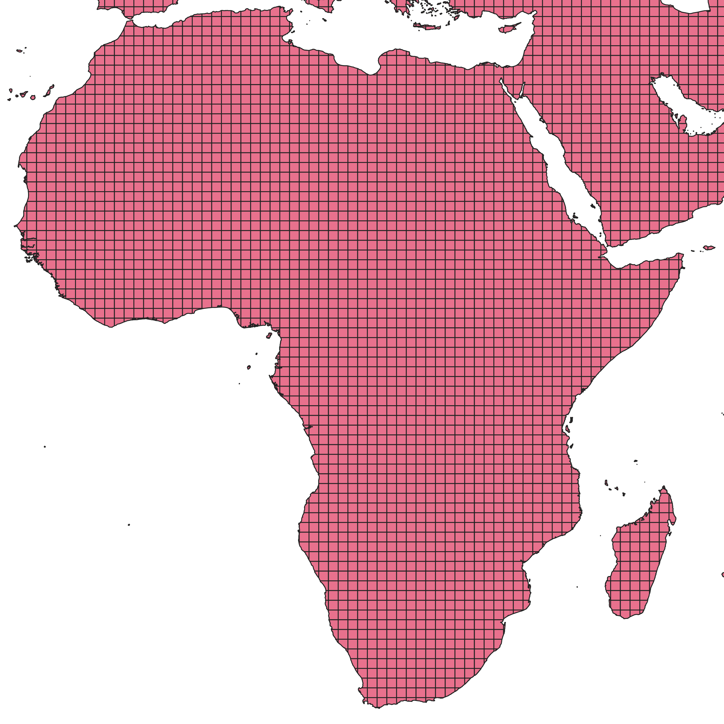
Step 4: Clip to Country Borders
Go to Vector → Geoprocessing Tools → Clip.
Set the parameters:
- Input layer: grid created in the previous step
- Overlay layer: country layer
Run the tool.
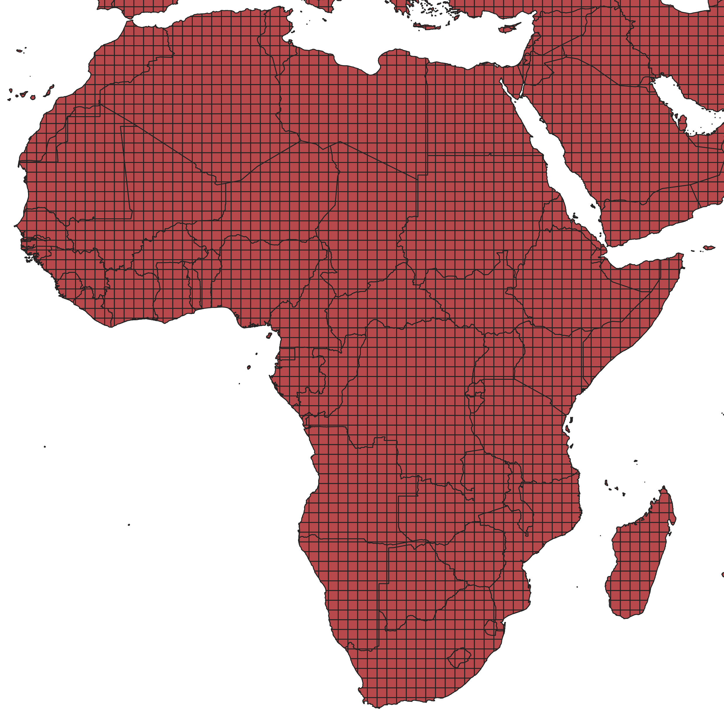
- The output will be a grid clipped by country borders (some cells remain square, others follow borders).
Step 5: Combine Country Names and Grid Attributes
- Go to Vector → Geoprocessing Tools → Union.
- Set the parameters:
- Input layer: the clipped grid
- Overlay layer: the country layer
- Run the union.
- This step combines country names with hierarchy and cell IDs.
- It may take some time depending on your dataset size.
The attribute table should now look like this:
| id | hierarchy | NAME |
|---|---|---|
| 1 | 1 | Morocco |
| 2 | 1 | Morocco |
| 3 | 2 | Algeria |
| 4 | 2 | Algeria |
| 5 | 3 | Tunisia |
| 6 | 3 | Tunisia |
| 7 | 4 | Libya |
| 8 | 4 | Libya |
| 9 | 5 | Egypt |
| 10 | 5 | Egypt |
Step 6: Export the Final Dataset
Export the final union layer as a GeoJSON file. When exporting, ensure that at least the following fields are included:
- name – country name
- hierarchy – hierarchy ID
This GeoJSON file can now be used within openrouteservice or related workflows.
Step 7 (optional): Manually merge inner country cells
By selecting and merging inner country cells, you can reduce the number of features in the final GeoJSON file.