Road Comparison
The Road Comparison indicator estimates the completeness of OSM road data using a reference dataset. The result is a ratio of the length of reference roads covered by OSM roads to the total length of the reference dataset.
Methods and Data
Extrinsic method
The indicator identifies matching road geometries in OSM and in the reference dataset in order to calculate the ratio of matching road length in km. The Microsoft Roads dataset is used as the reference. However, the reference dataset shouldn’t be regarded as fully correct or up to date. The Road Comparison indicator is only available for the topic “Roads (all highways)”.
Reference dataset:
Microsoft Roads: the Microsoft Roads dataset is a worldwide road dataset. A machine learning approach was used to derive roads from satellite imagery.
Result
You’ll find the results of the query in the result log below. The green, yellow or red banner in the top left shows the attribute completeness level.
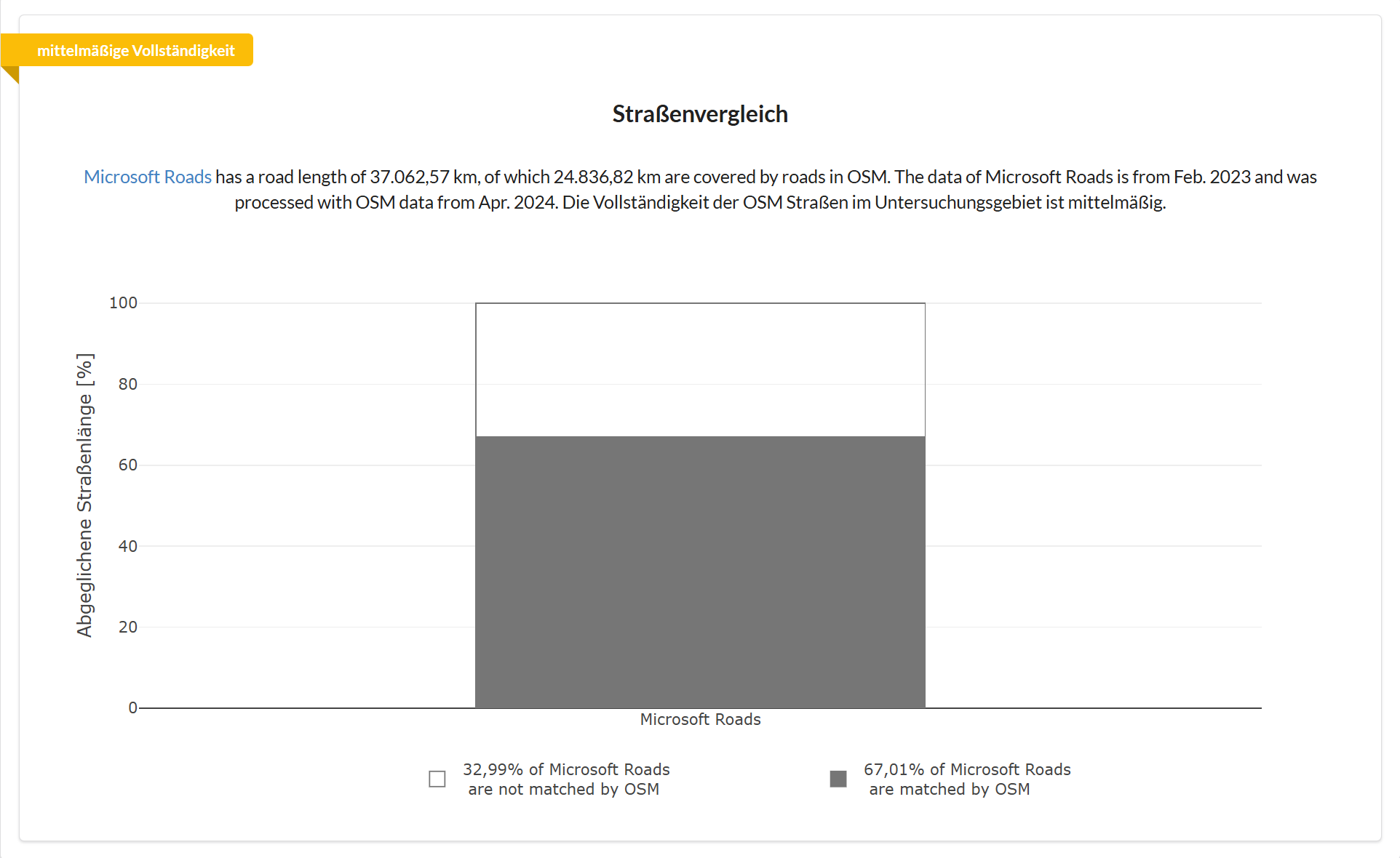
The chart shows a bar chart of completeness. The grey fill indicates what percentage of the reference roads are covered by OSM roads.
Example
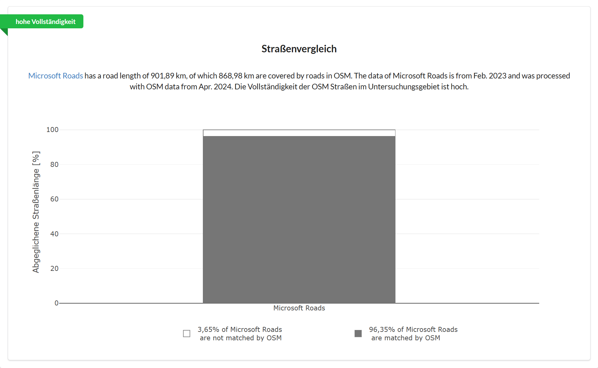
The agreement between Microsoft Roads and OSM in Heidelberg is 96%, so we can assume a high level of completeness for the OSM data here.
In a region of Turkey, agreement is only around two thirds. Here completeness is only medium, and some data gaps can be assumed, although the OSM data may still be usable depending on the use case.