Attribute Completeness
The Attribute Completeness indicator shows how detailed and completely additional attributes, e.g. street name or speed limit, are mapped in your area of interest. For this indicator, you choose an attribute to investigate from the dropdown menu.
Depending on the topic, you can choose from a different set of attributes. If you select more than one attribute in a single query, the results are combined, and the result figure shows the percentage of all features that have all the selected attributes.
Defining custom attributes
You can also define several attributes, or attributes of your own.
Result
You’ll find the results of the query in the result log below. The green, yellow or red banner in the top left shows the attribute completeness level.
Methods and Data
Intrinsic approach
Calculates the percentage of features that hold a given attribute. For point geometries, the total number of features is compared with the number of features that have the selected attributes. If the OSM feature under investigation is a line, the ratio is calculated based on length in km. For polygons, we use the area in km².
There are three quality categories:
low completeness < 25%
medium completeness 25% - 75%
high completeness > 75%
The thresholds for the quality categories were set by looking at many areas and attributes, and shouldn’t be understood as an objective metric.
Examples
In the following example, we can see how important it is to choose the right topic. We want to find out the attribute completeness of street names for Frankfurt city centre.
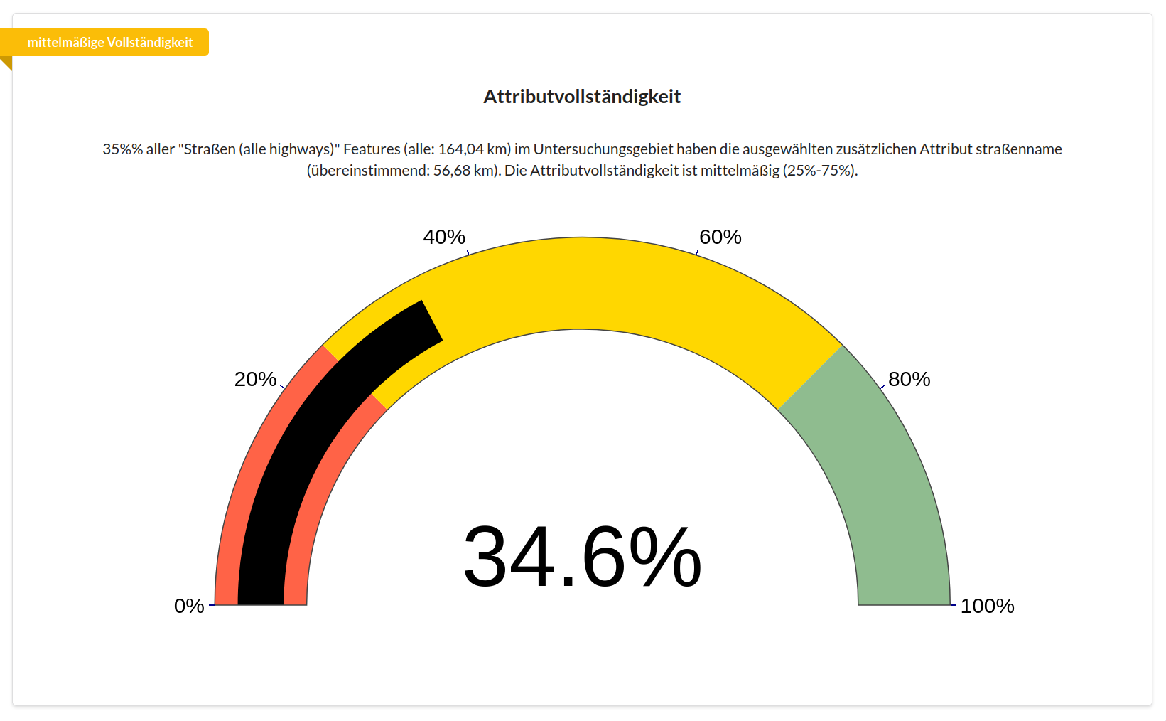
In this figure, we see the result for the topic Roads (all highways). Just under 40% is a medium level of completeness, and a surprising result for a large German city. At this point we should notice that something might not be quite right. The topic Roads (all highways) doesn’t just include roads usable by cars, but every path used for motorised traffic as well as cycleways and footways. Since many cycleways and footways don’t have an explicit name, the query result comes out at just under 40%.
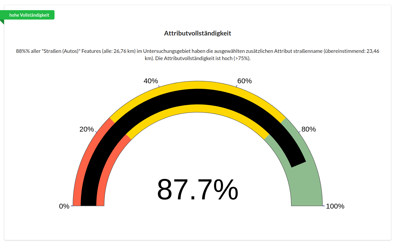
If we’re only interested in the street names of roads used by motorised traffic, we should choose the topic Roads (cars) instead. In the next figure, we see that for the same area of interest we now get a high level of completeness.