Application Examples
Routing and Navigation
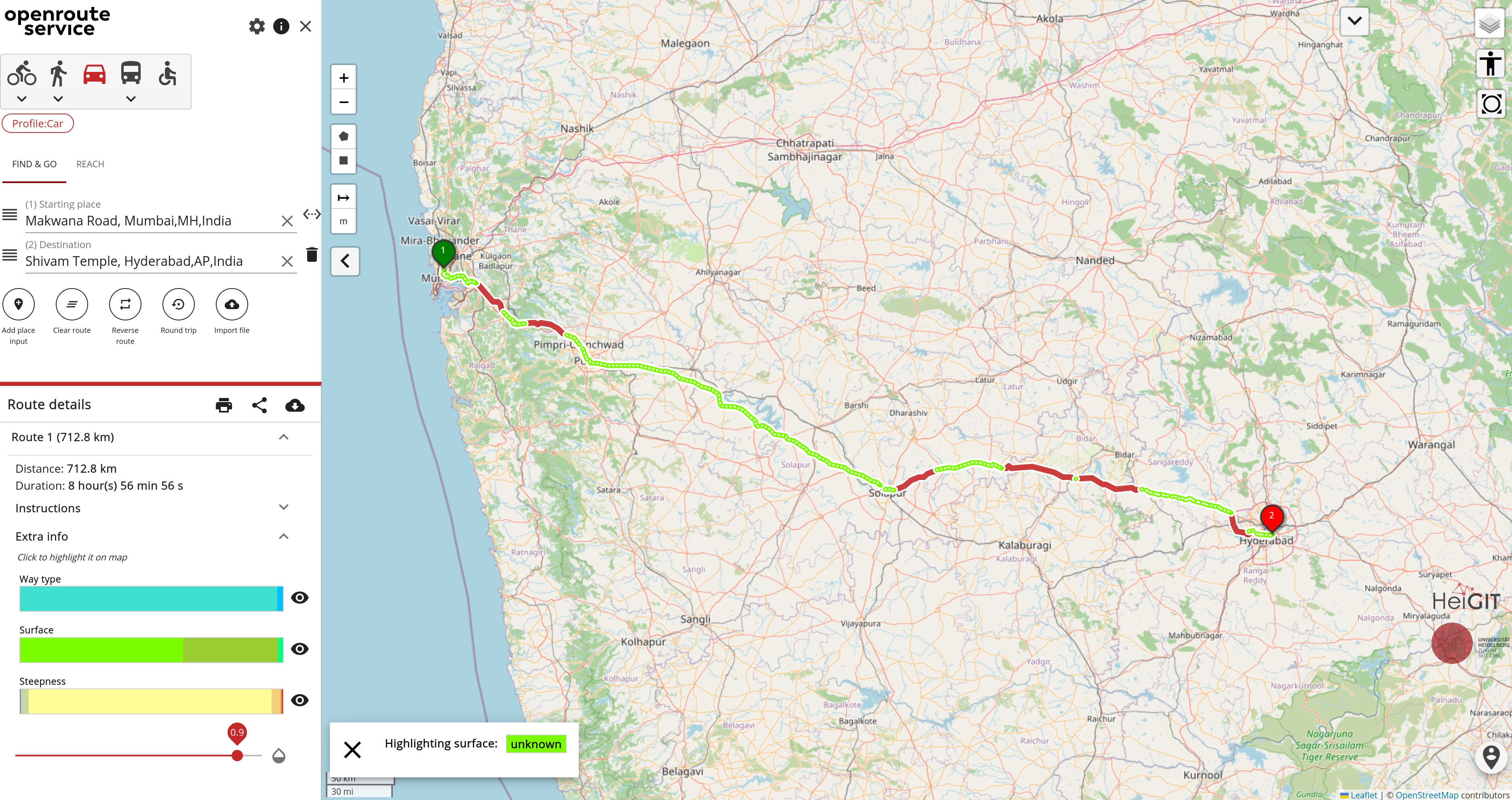
OSM data underpins many routing applications, such as openrouteservice.
The course of a calculated route and its estimated travel time also depend on the availability and
quality of the road data.
OSM tags such as highway or maxspeed determine whether a road is “usable” for cars, cyclists or
pedestrians, and what speed can be assumed.
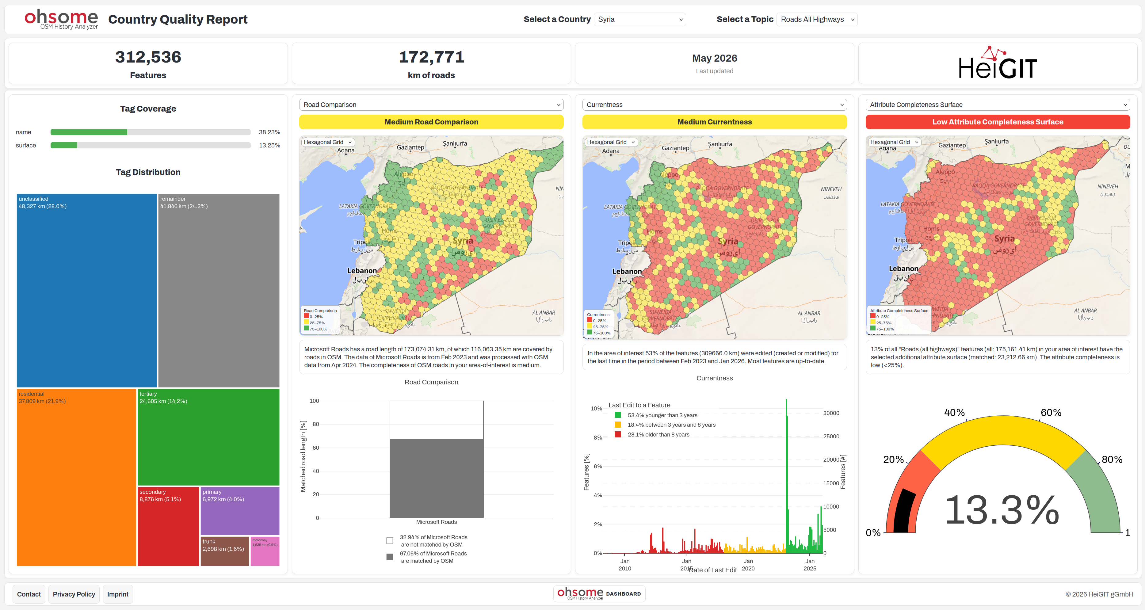
With data quality indicators such as Road Comparison or Attribute Completeness, we can find out
more about how reliable the OSM data is.
Disaster Response
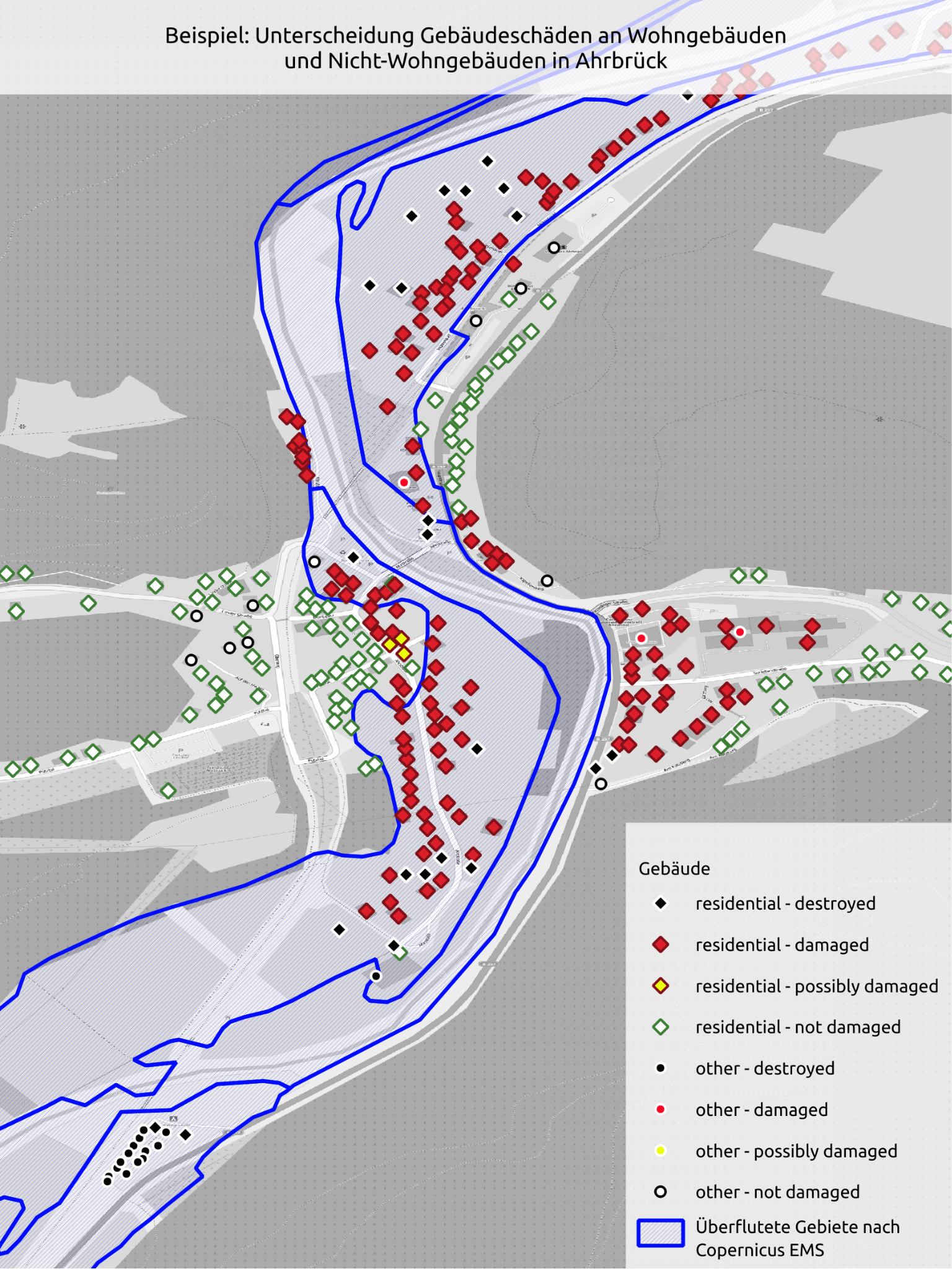
In disaster response, OSM data can be a source of up-to-date situational information. Combined with other data layers, such as flood masks from Copernicus EMS, it’s possible to quickly produce an initial estimate of the number of buildings or people affected.
After the flood in the Ahr valley in July 2021, we combined OSM buildings with flood extent data and census data to produce an initial situational picture for the German Red Cross. We also used land use information from OSM to distinguish between residential and non-residential buildings.
Land Use
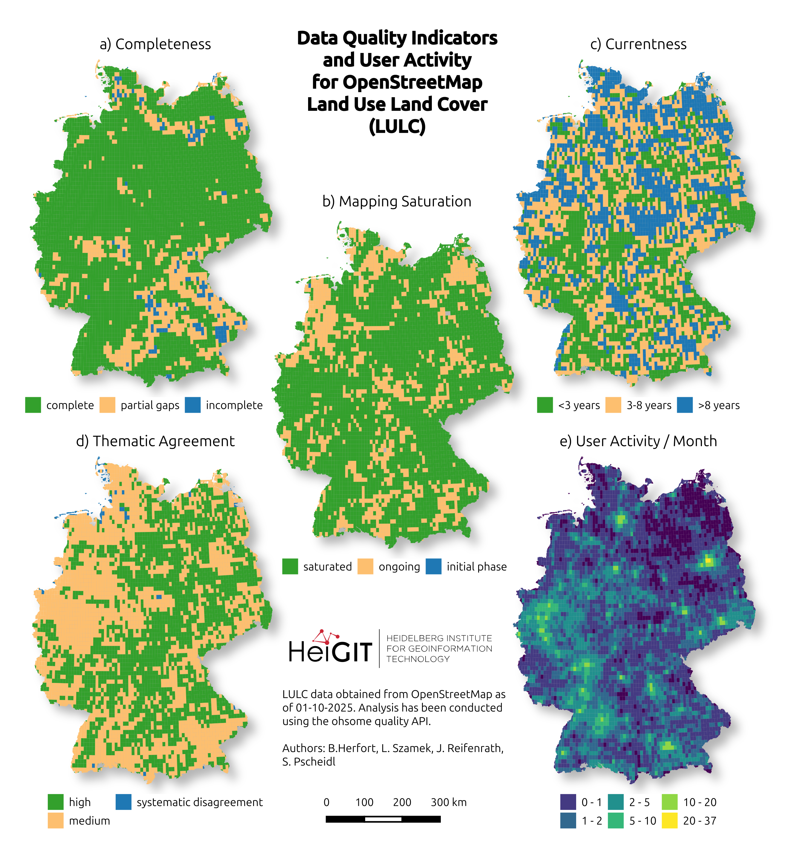
For the BKG LaVerDi project, we use OSM data to better understand land use change in Germany (more about this here). Changes in OSM can give us an early indication of where land use changes have occurred in the “real” world. That said, OSM changes are always somewhat delayed, since it simply takes time for mappers to notice a change and record it.
Overview Maps
Many applications use OSM as a background map or for overview maps. These often rely on several relevant layers, such as the road network, water bodies and the largest cities. For these applications, it’s useful to quickly get a broad overview of completeness or currentness.